
Long Point topographic map
Interactive map
Click on the map to display elevation.
About this map
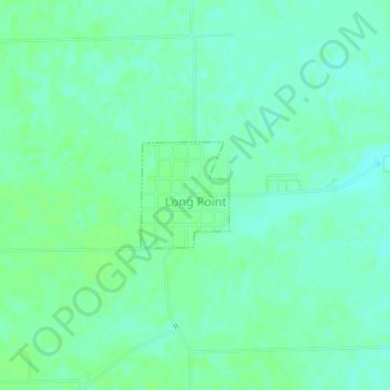
Name: Long Point topographic map, elevation, terrain.
Location: Long Point, Livingston County, Illinois, United States (41.00148 -88.89668 41.00888 -88.88867)
Average elevation: 195 m
Minimum elevation: 190 m
Maximum elevation: 199 m
Other topographic maps
Click on a map to view its topography, its elevation and its terrain.
Cornell
United States > Illinois > Livingston County
Cornell, Amity Township, Livingston County, Illinois, United States
Average elevation: 193 m
Dwight
United States > Illinois > Livingston County > Dwight
Dwight, Livingston County, Illinois, United States
Average elevation: 194 m