
Bela Bela topographic map
Interactive map
Click on the map to display elevation.
About this map
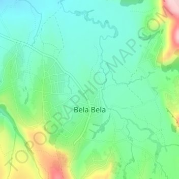
Name: Bela Bela topographic map, elevation, terrain.
Location: Bela Bela, Berea District, Lesotho (-29.03501 28.00673 -29.01546 28.02694)
Average elevation: 1,729 m
Minimum elevation: 1,666 m
Maximum elevation: 1,884 m