
Warmenhuizen topographic map
Interactive map
Click on the map to display elevation.
About this map
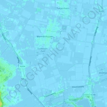
Name: Warmenhuizen topographic map, elevation, terrain.
Location: Warmenhuizen, Schagen, Hollande-Septentrionale, Pays-Bas (52.69140 4.69035 52.73648 4.77769)
Average elevation: 0 m
Minimum elevation: -4 m
Maximum elevation: 15 m