
Hutchinson topographic map
Interactive map
Click on the map to display elevation.
About this map
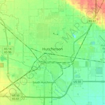
Name: Hutchinson topographic map, elevation, terrain.
Location: Hutchinson, Reno County, Kansas, USA (38.00554 -97.96632 38.10895 -97.84613)
Average elevation: 471 m
Minimum elevation: 455 m
Maximum elevation: 502 m