
Dolgoprudny topographic map
Interactive map
Click on the map to display elevation.
About this map
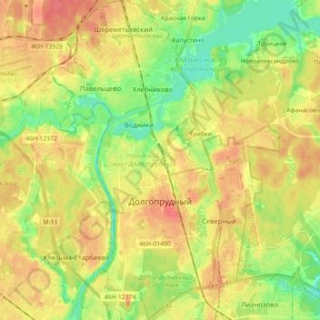
Name: Dolgoprudny topographic map, elevation, terrain.
Location: Dolgoprudny, Moscow Oblast, Central Federal District, Russia (55.89730 37.45482 55.99604 37.53632)
Average elevation: 178 m
Minimum elevation: 152 m
Maximum elevation: 201 m