
Secёda - Monte Seceda topographic map
Interactive map
Click on the map to display elevation.
About this map
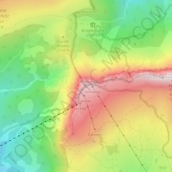
Name: Secёda - Monte Seceda topographic map, elevation, terrain.
Average elevation: 2,106 m
Minimum elevation: 1,714 m
Maximum elevation: 2,550 m
Other topographic maps
Click on a map to view its topography, its elevation and its terrain.
Saslonch - Langkofel - Sassolungo
Italie > Trentin-Haut-Adige > Haut-Adige > Santa Cristina Gherdëina - St. Christina in Gröden - Santa Cristina Valgardena
Saslonch - Langkofel - Sassolungo, Santa Cristina Gherdëina - St. Christina in Gröden - Santa Cristina Valgardena, Salten-Schlern - Salto-Sciliar, Haut-Adige, Trentin-Haut-Adige, 39048, Italie
Average elevation: 2,320 m