
Daun, Bukit topographic map
Interactive map
Click on the map to display elevation.
About this map
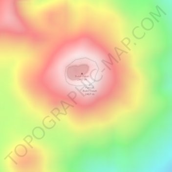
Name: Daun, Bukit topographic map, elevation, terrain.
Location: Daun, Bukit, Bengkulu, Muara Bangkahulu, Bengkulu, Indonésie (-3.38556 102.37388 -3.38546 102.37398)
Average elevation: 2,100 m
Minimum elevation: 1,626 m
Maximum elevation: 2,440 m