
Klima topographic map
Interactive map
Click on the map to display elevation.
About this map
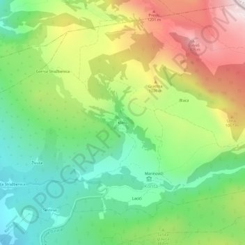
Name: Klima topographic map, elevation, terrain.
Location: Klima, Korita, Općina Otok, Comitat de Split-Dalmatie, Croatie (43.69175 16.77896 43.73175 16.81896)
Average elevation: 855 m
Minimum elevation: 506 m
Maximum elevation: 1,384 m