
Thank you for supporting this site ❤️
Make a donation
Make a donation
Berg am Laim topographic map
Click on the map to display elevation.
Thank you for supporting this site ❤️
Make a donation
Make a donation
About this map
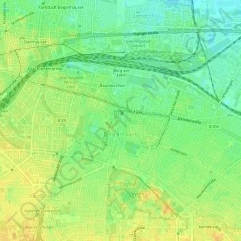
Name: Berg am Laim topographic map, elevation, terrain.
Location: Berg am Laim, Munich, Bavaria, Germany (48.11446 11.60108 48.13651 11.65653)
Average elevation: 532 m
Minimum elevation: 518 m
Maximum elevation: 544 m
Thank you for supporting this site ❤️
Make a donation
Make a donation
Other topographic maps
Click on a map to view its topography, its elevation and its terrain.