
Supía topographic map
Interactive map
Click on the map to display elevation.
About this map
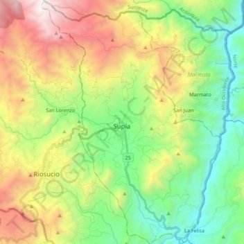
Name: Supía topographic map, elevation, terrain.
Location: Supía, Alto Occidente, Caldas, Colombia (5.37377 -75.70633 5.53819 -75.58461)
Average elevation: 1,569 m
Minimum elevation: 645 m
Maximum elevation: 3,126 m