
Cerro Corazon topographic map
Interactive map
Click on the map to display elevation.
About this map
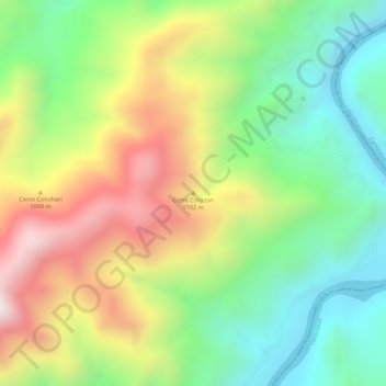
Name: Cerro Corazon topographic map, elevation, terrain.
Location: Cerro Corazon, Anserma, Bajo Occidente, Caldas, Colombia (5.24344 -75.70788 5.24354 -75.70778)
Average elevation: 987 m
Minimum elevation: 735 m
Maximum elevation: 1,307 m