
Abcoude topographic map
Interactive map
Click on the map to display elevation.
About this map
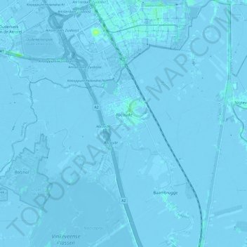
Name: Abcoude topographic map, elevation, terrain.
Location: Abcoude, De Ronde Venen, Utrecht, Pays-Bas (52.23167 4.90792 52.30362 5.02193)
Average elevation: -2 m
Minimum elevation: -8 m
Maximum elevation: 10 m
Other topographic maps
Click on a map to view its topography, its elevation and its terrain.