
Ceresa topographic map
Interactive map
Click on the map to display elevation.
About this map
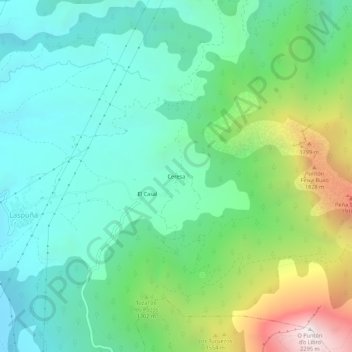
Name: Ceresa topographic map, elevation, terrain.
Location: Ceresa, Laspuña, Sobrarbe, Huesca, Aragon, 22363, Espagne (42.48825 0.15870 42.52825 0.19870)
Average elevation: 1,057 m
Minimum elevation: 589 m
Maximum elevation: 2,287 m
Other topographic maps
Click on a map to view its topography, its elevation and its terrain.