
Alhadas topographic map
Interactive map
Click on the map to display elevation.
About this map
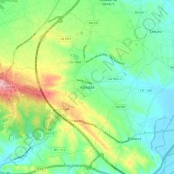
Name: Alhadas topographic map, elevation, terrain.
Location: Alhadas, Figueira da Foz, Coïmbre, 3090-468, Portugal (40.14988 -8.82385 40.22988 -8.74385)
Average elevation: 58 m
Minimum elevation: -2 m
Maximum elevation: 182 m