
Brauerschwend topographic map
Interactive map
Click on the map to display elevation.
About this map
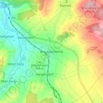
Name: Brauerschwend topographic map, elevation, terrain.
Average elevation: 362 m
Minimum elevation: 291 m
Maximum elevation: 463 m
Die Statistisch-topographisch-historische Beschreibung des Großherzogthums Hessen berichtet 1830 über Mainzlar: