
Thank you for supporting this site ❤️
Make a donation
Make a donation
Jamestown topographic map
Click on the map to display elevation.
Thank you for supporting this site ❤️
Make a donation
Make a donation
About this map
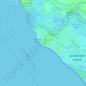
Name: Jamestown topographic map, elevation, terrain.
Location: Jamestown, James City County, Virginia, 23081, United States (37.19892 -76.78830 37.21892 -76.76830)
Average elevation: 1 m
Minimum elevation: -2 m
Maximum elevation: 11 m
Thank you for supporting this site ❤️
Make a donation
Make a donation