
Thank you for supporting this site ❤️
Make a donation
Make a donation
Crossroads topographic map
Click on the map to display elevation.
Thank you for supporting this site ❤️
Make a donation
Make a donation
About this map
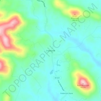
Name: Crossroads topographic map, elevation, terrain.
Location: Crossroads, Albemarle County, Virginia, 22940, United States (38.18652 -78.60002 38.22652 -78.56002)
Average elevation: 225 m
Minimum elevation: 158 m
Maximum elevation: 411 m
Thank you for supporting this site ❤️
Make a donation
Make a donation