
Sandlofs topographic map
Interactive map
Click on the map to display elevation.
About this map
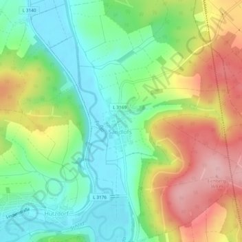
Name: Sandlofs topographic map, elevation, terrain.
Location: Sandlofs, Schlitz, Vogelsbergkreis, Hessen, Deutschland (50.68124 9.58756 50.71074 9.61314)
Average elevation: 278 m
Minimum elevation: 214 m
Maximum elevation: 373 m