
Poteau topographic map
Interactive map
Click on the map to display elevation.
About this map
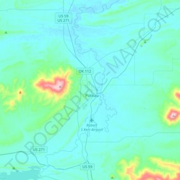
Name: Poteau topographic map, elevation, terrain.
Location: Poteau, Le Flore County, Oklahoma, 74953, USA (34.92772 -94.73447 35.20218 -94.57137)
Average elevation: 188 m
Minimum elevation: 125 m
Maximum elevation: 770 m