
Gemeinde Mellau topographic map
Interactive map
Click on the map to display elevation.
About this map
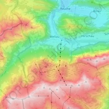
Name: Gemeinde Mellau topographic map, elevation, terrain.
Location: Gemeinde Mellau, Bezirk Bregenz, Vorarlberg, 6881, Autriche (47.30245 9.81082 47.37040 9.93213)
Average elevation: 1,269 m
Minimum elevation: 634 m
Maximum elevation: 2,052 m