
Meeman-Shelby Forest State Park topographic map
Interactive map
Click on the map to display elevation.
About this map
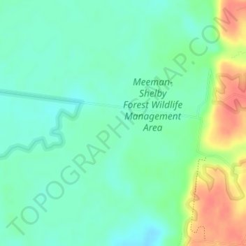
Name: Meeman-Shelby Forest State Park topographic map, elevation, terrain.
Average elevation: 80 m
Minimum elevation: 62 m
Maximum elevation: 115 m