
大邱庄镇 topographic map
Interactive map
Click on the map to display elevation.
About this map
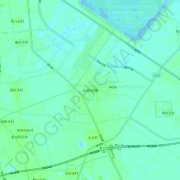
Name: 大邱庄镇 topographic map, elevation, terrain.
Location: 大邱庄镇, 静海区, 天津市, 中国 (38.79176 117.01800 38.87176 117.09800)
Average elevation: 3 m
Minimum elevation: -1 m
Maximum elevation: 8 m
Other topographic maps
Click on a map to view its topography, its elevation and its terrain.