
Rock Township topographic map
Interactive map
Click on the map to display elevation.
About this map
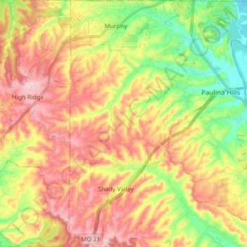
Name: Rock Township topographic map, elevation, terrain.
Location: Rock Township, Jefferson County, Missouri, United States (38.39308 -90.51347 38.50134 -90.40498)
Average elevation: 205 m
Minimum elevation: 114 m
Maximum elevation: 291 m
Other topographic maps
Click on a map to view its topography, its elevation and its terrain.