
Bogense topographic map
Interactive map
Click on the map to display elevation.
About this map
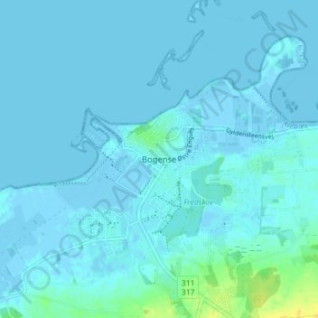
Name: Bogense topographic map, elevation, terrain.
Location: Bogense, Nordfyns Kommune, 5400, Dänemark (55.54401 10.07209 55.58401 10.11209)
Average elevation: 2 m
Minimum elevation: -4 m
Maximum elevation: 23 m