
Otago topographic map
Interactive map
Click on the map to display elevation.
About this map
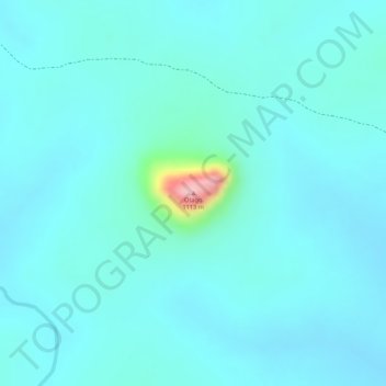
Name: Otago topographic map, elevation, terrain.
Location: Otago, Yei, Central Equatoria, South Sudan (3.95839 30.58321 3.95849 30.58331)
Average elevation: 906 m
Minimum elevation: 879 m
Maximum elevation: 1,078 m