
Campohermoso topographic map
Interactive map
Click on the map to display elevation.
About this map
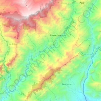
Name: Campohermoso topographic map, elevation, terrain.
Location: Campohermoso, Lengupá, Boyacá, Colombia (4.89187 -73.24735 5.10389 -73.02653)
Average elevation: 1,253 m
Minimum elevation: 394 m
Maximum elevation: 2,714 m