
Thank you for supporting this site ❤️
Make a donation
Make a donation
Murieta topographic map
Click on the map to display elevation.
Thank you for supporting this site ❤️
Make a donation
Make a donation
About this map
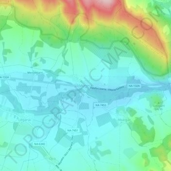
Name: Murieta topographic map, elevation, terrain.
Location: Murieta, Navarre, 31280, Spain (42.63624 -2.17435 42.67624 -2.13435)
Average elevation: 518 m
Minimum elevation: 457 m
Maximum elevation: 721 m
Thank you for supporting this site ❤️
Make a donation
Make a donation