
Groblersdal topographic map
Click on the map to display elevation.
About this map
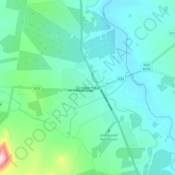
Name: Groblersdal topographic map, elevation, terrain.
Average elevation: 939 m
Minimum elevation: 880 m
Maximum elevation: 1,213 m
Other topographic maps
Click on a map to view its topography, its elevation and its terrain.
De Hoop Dam
South Africa > Limpopo > Sekhukhune District Municipality > Elias Motsoaledi Local Municipality
Average elevation: 906 m
Steelpoort
South Africa > Limpopo > Sekhukhune District Municipality > Elias Motsoaledi Local Municipality
Average elevation: 1,304 m