
Thank you for supporting this site ❤️
Make a donation
Make a donation
Canyon topographic map
Click on the map to display elevation.
Thank you for supporting this site ❤️
Make a donation
Make a donation
About this map
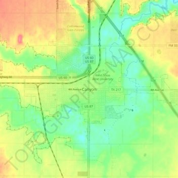
Name: Canyon topographic map, elevation, terrain.
Location: Canyon, Randall County, Texas, 79016, United States (34.93994 -101.95920 35.01994 -101.87920)
Average elevation: 1,084 m
Minimum elevation: 1,052 m
Maximum elevation: 1,127 m
Thank you for supporting this site ❤️
Make a donation
Make a donation