
Gonrieux topographic map
Interactive map
Click on the map to display elevation.
About this map
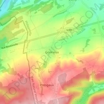
Name: Gonrieux topographic map, elevation, terrain.
Location: Gonrieux, Philippeville, Namen, Wallonië, 5660, België (50.01740 4.40364 50.05740 4.44364)
Average elevation: 259 m
Minimum elevation: 181 m
Maximum elevation: 329 m