
Xiá topographic map
Interactive map
Click on the map to display elevation.
About this map
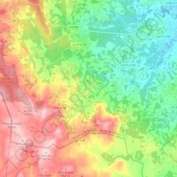
Name: Xiá topographic map, elevation, terrain.
Location: Xiá, Friol, Lugo, Galicia, España (42.97336 -7.91140 43.02467 -7.80865)
Average elevation: 606 m
Minimum elevation: 472 m
Maximum elevation: 777 m
Other topographic maps
Click on a map to view its topography, its elevation and its terrain.