
El Asintal topographic map
Interactive map
Click on the map to display elevation.
About this map
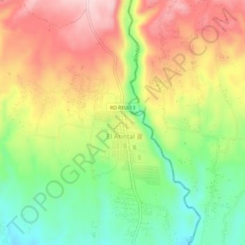
Name: El Asintal topographic map, elevation, terrain.
Location: El Asintal, Retalhuleu, Guatemala (14.57764 -91.74685 14.61764 -91.70685)
Average elevation: 388 m
Minimum elevation: 263 m
Maximum elevation: 519 m