
Rossa topographic map
Interactive map
Click on the map to display elevation.
About this map
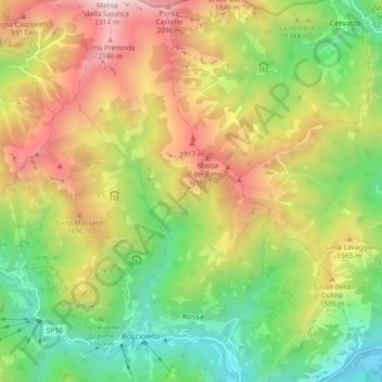
Name: Rossa topographic map, elevation, terrain.
Location: Rossa, Verceil, Piémont, Italie (45.82253 8.09663 45.88732 8.14714)
Average elevation: 1,287 m
Minimum elevation: 513 m
Maximum elevation: 2,318 m