
Sapkamma topographic map
Interactive map
Click on the map to display elevation.
About this map
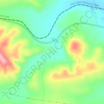
Name: Sapkamma topographic map, elevation, terrain.
Average elevation: 356 m
Minimum elevation: 306 m
Maximum elevation: 444 m
Other topographic maps
Click on a map to view its topography, its elevation and its terrain.
Sundays River Valley Ward 4
RSA > Eastern Cape > Sundays River Valley Local Municipality
Sundays River Valley Ward 4, Sundays River Valley Local Municipality, Sarah Baartman District Municipality, Eastern Cape, RSA
Average elevation: 260 m