
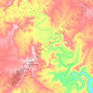
Mhlontlo Ward 13 topographic map
Interactive map
Click on the map to display elevation.
About this map
Name: Mhlontlo Ward 13 topographic map, elevation, terrain.
Average elevation: 867 m
Minimum elevation: 354 m
Maximum elevation: 1,243 m
Other topographic maps
Click on a map to view its topography, its elevation and its terrain.
Tina River
South Africa > Eastern Cape > O.R. Tambo District Municipality > Mhlontlo Local Municipality
Average elevation: 1,183 m
Nqadu Dam
South Africa > Eastern Cape > O.R. Tambo District Municipality > Mhlontlo Local Municipality
Average elevation: 1,131 m