
Gatsibo topographic map
Interactive map
Click on the map to display elevation.
About this map
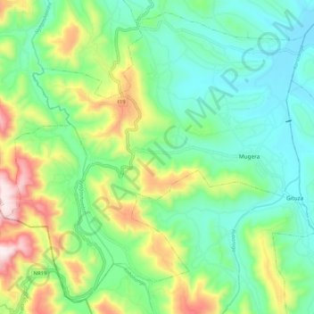
Name: Gatsibo topographic map, elevation, terrain.
Location: Gatsibo, Gatsibo District, Iburasirasuba, Rwanda (-1.65244 30.19689 -1.55687 30.30025)
Average elevation: 1,589 m
Minimum elevation: 1,389 m
Maximum elevation: 2,038 m