
Oatland topographic map
Interactive map
Click on the map to display elevation.
About this map
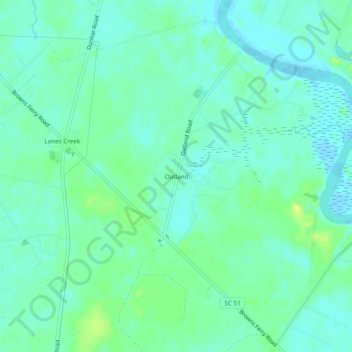
Name: Oatland topographic map, elevation, terrain.
Location: Oatland, Georgetown County, South Carolina, United States (33.47517 -79.36728 33.51517 -79.32728)
Average elevation: 6 m
Minimum elevation: -2 m
Maximum elevation: 17 m
Other topographic maps
Click on a map to view its topography, its elevation and its terrain.
Malady Bush Island
United States > South Carolina > Georgetown County
Malady Bush Island, Georgetown County, South Carolina, United States
Average elevation: 2 m