
昆承湖 topographic map
Interactive map
Click on the map to display elevation.
About this map
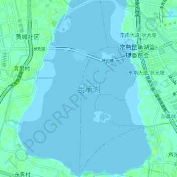
Name: 昆承湖 topographic map, elevation, terrain.
Location: 昆承湖, 常熟市, 苏州市, 江苏省, 中国 (31.56153 120.71984 31.61356 120.76699)
Average elevation: 1 m
Minimum elevation: -3 m
Maximum elevation: 9 m
Other topographic maps
Click on a map to view its topography, its elevation and its terrain.