
观景台 topographic map
Interactive map
Click on the map to display elevation.
About this map
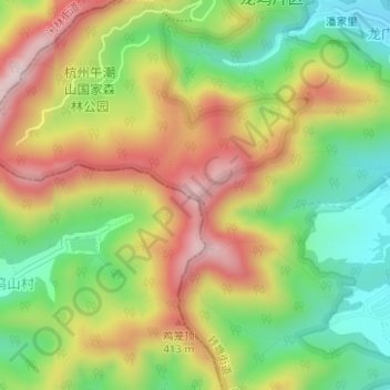
Name: 观景台 topographic map, elevation, terrain.
Location: 观景台, 叶埠桥路, 中港龙井院子, 转塘街道, 西湖区, 杭州市, 浙江省, 310024, 中国 (30.18292 120.01064 30.18302 120.01074)
Average elevation: 249 m
Minimum elevation: 71 m
Maximum elevation: 450 m
Other topographic maps
Click on a map to view its topography, its elevation and its terrain.