
上坝村 topographic map
Interactive map
Click on the map to display elevation.
About this map
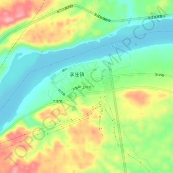
Name: 上坝村 topographic map, elevation, terrain.
Location: 上坝村, 李庄镇, 翠屏区, 宜宾市, Sujuão, China (28.78551 104.78240 28.82551 104.82240)
Average elevation: 303 m
Minimum elevation: 248 m
Maximum elevation: 385 m