
Thukela River topographic map
Interactive map
Click on the map to display elevation.
About this map
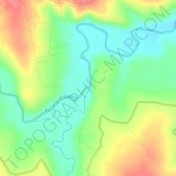
Name: Thukela River topographic map, elevation, terrain.
Average elevation: 1,213 m
Minimum elevation: 1,180 m
Maximum elevation: 1,259 m
Other topographic maps
Click on a map to view its topography, its elevation and its terrain.
Royal Natal National Park
South Africa > KwaZulu-Natal > Okhahlamba Local Municipality
Average elevation: 1,869 m