
Heka Azimio topographic map
Interactive map
Click on the map to display elevation.
About this map
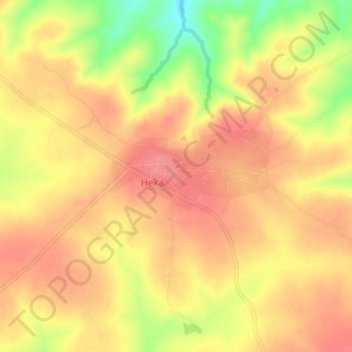
Name: Heka Azimio topographic map, elevation, terrain.
Location: Heka Azimio, Manyoni, Singida, Central Zone, Tanzania (-6.14969 34.85253 -6.10969 34.89253)
Average elevation: 1,207 m
Minimum elevation: 1,158 m
Maximum elevation: 1,230 m