
Türkheim topographic map
Interactive map
Click on the map to display elevation.
About this map
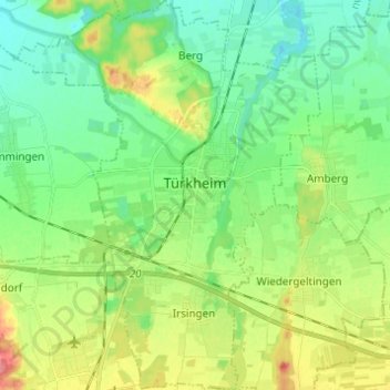
Name: Türkheim topographic map, elevation, terrain.
Average elevation: 603 m
Minimum elevation: 578 m
Maximum elevation: 654 m
Other topographic maps
Click on a map to view its topography, its elevation and its terrain.
Schöneschach
Allemagne > Bavière > Landkreis Unterallgäu > Bad Wörishofen > Schöneschach
Schöneschach, Bad Wörishofen, Landkreis Unterallgäu, Bavière, 86825, Allemagne
Average elevation: 659 m