
Thank you for supporting this site ❤️
Make a donation
Make a donation
Ilembe topographic map
Click on the map to display elevation.
Thank you for supporting this site ❤️
Make a donation
Make a donation
About this map
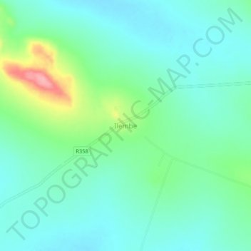
Name: Ilembe topographic map, elevation, terrain.
Location: Ilembe, Ushetu, Shinyanga Region, Lake Zone, Tanzania (-4.03157 32.33362 -3.99157 32.37362)
Average elevation: 1,196 m
Minimum elevation: 1,167 m
Maximum elevation: 1,284 m
Thank you for supporting this site ❤️
Make a donation
Make a donation