
Redelinghuys topographic map
Click on the map to display elevation.
About this map
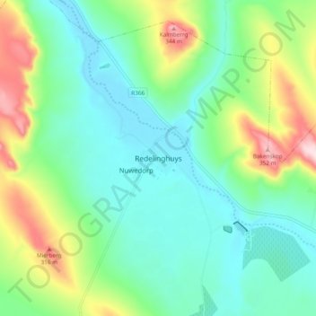
Name: Redelinghuys topographic map, elevation, terrain.
Average elevation: 106 m
Minimum elevation: 3 m
Maximum elevation: 367 m
Other topographic maps
Click on a map to view its topography, its elevation and its terrain.
Die Hel
South Africa > Western Cape > West Coast District Municipality > Bergrivier Local Municipality
Average elevation: 621 m