
Ul topographic map
Interactive map
Click on the map to display elevation.
About this map
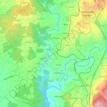
Name: Ul topographic map, elevation, terrain.
Location: Ul, Oliveira de Azeméis, Aveiro, 3720-254, Portugal (40.80407 -8.51434 40.84407 -8.47434)
Average elevation: 143 m
Minimum elevation: 40 m
Maximum elevation: 312 m