
Kyawa topographic map
Interactive map
Click on the map to display elevation.
About this map
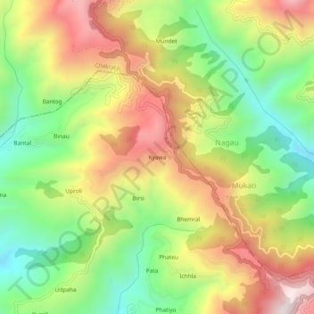
Name: Kyawa topographic map, elevation, terrain.
Location: Kyawa, Kalsi, Dehradun District, Uttarakhand, 248196, India (30.61695 77.88667 30.65695 77.92667)
Average elevation: 1,652 m
Minimum elevation: 1,255 m
Maximum elevation: 2,115 m