
Spitskop topographic map
Interactive map
Click on the map to display elevation.
About this map
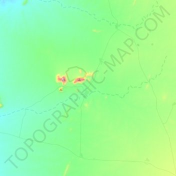
Name: Spitskop topographic map, elevation, terrain.
Location: Spitskop, Erongo Region, Namibia (-21.88848 15.04750 -21.78864 15.34089)
Average elevation: 1,065 m
Minimum elevation: 917 m
Maximum elevation: 1,692 m
Other topographic maps
Click on a map to view its topography, its elevation and its terrain.
Swakopmund
Namibia > Erongo Region > Swakopmund
Swakopmund, Erongo Region, 13001, Namibia
Average elevation: 50 m