
Thank you for supporting this site ❤️
Make a donation
Make a donation
Omatjete topographic map
Click on the map to display elevation.
Thank you for supporting this site ❤️
Make a donation
Make a donation
About this map
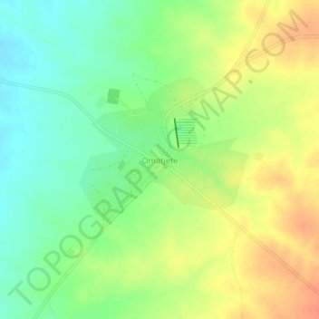
Name: Omatjete topographic map, elevation, terrain.
Location: Omatjete, Erongo Region, Namibia (-21.07246 15.48673 -21.03246 15.52673)
Average elevation: 1,227 m
Minimum elevation: 1,206 m
Maximum elevation: 1,250 m
Thank you for supporting this site ❤️
Make a donation
Make a donation
Other topographic maps
Click on a map to view its topography, its elevation and its terrain.