
Thank you for supporting this site ❤️
Make a donation
Make a donation
Marsh Creek topographic map
Click on the map to display elevation.
Thank you for supporting this site ❤️
Make a donation
Make a donation
About this map
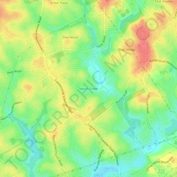
Name: Marsh Creek topographic map, elevation, terrain.
Location: Marsh Creek, Gwinnett County, Georgia, 30043, United States (33.97732 -84.04852 34.01732 -84.00852)
Average elevation: 312 m
Minimum elevation: 281 m
Maximum elevation: 345 m
Thank you for supporting this site ❤️
Make a donation
Make a donation
Other topographic maps
Click on a map to view its topography, its elevation and its terrain.